Wildfire Preparedness and Community Protection Planning
Smart Site Plan gives land management agencies, utilities, and county emergency managers the geospatial tools to identify WUI exposure, coordinate active fire response, and document losses for FEMA reimbursement, without requiring a GIS specialist.
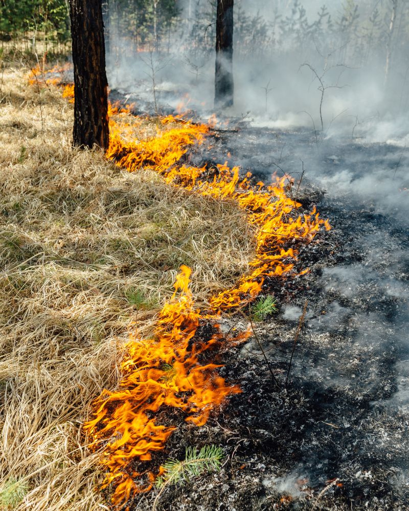
Effective Wildfire Management Requires Integrated Geospatial Intelligence
Wildfire frequency and severity have escalated across the United States. For land management agencies, electric utilities, and WUI communities, the risks extend well beyond property loss, they threaten critical infrastructure, water supply systems, and lives. Decisions made in the days and weeks before a fire determines how many assets and people are protected when conditions deteriorate.
Despite this urgency, most organizations still manage risk data in fragmented spreadsheets, static PDFs, and disconnected GIS files. Outdated workflows slow evacuation decisions, delay mutual aid coordination, and leave critical infrastructure undocumented for federal reimbursement.
Smart Site Plan by Juno Maps consolidates wildfire hazard layers, infrastructure records, and community vulnerability data into a single accessible platform — equipping agencies and associations to visualize exposure, coordinate response, and support HMGP and CWPP compliance without requiring GIS expertise.
Get StartedHow Smart Site Plan Supports Wildfire Disaster Management
From pre-fire CWPP planning through post-fire FEMA Public Assistance documentation, Smart Site Plan provides the operational tools your team needs at every phase of the wildfire lifecycle.
Preparedness
Establish baseline risk intelligence before wildfires strike
- Map WUI hazard zones, historical fire perimeters, and vegetation density using USFS, CAL FIRE, and NIFC integrated open data layers.
- Identify critical infrastructure at risk, power transmission lines, substations, water supply systems, and evacuation corridors, with parcel-linked exposure analysis.
- Plan, document, and maintain defensible space zones, fuel break corridors, and vegetation management project records to support CWPP compliance.
- Overlay CDC Social Vulnerability Index data to prioritize life-safety interventions for high-risk populations in WUI communities.
- Centralize asset inventories, mitigation project records, and emergency plans in a single platform accessible across departments and mutual aid partners.
Response
Coordinate multi-agency action across active fire events
- Publish real-time evacuation routes, shelter locations, and fire perimeter maps to residents and ICS response teams, accessible from any device, no login required.
- Deploy mobile field reporting for fire crews and utility inspectors: geo-tagged damage photos, structure triage logs, and hazard condition updates submitted directly from the field.
- Integrate live NIFC fire perimeter feeds, NOAA weather data, and satellite hot-spot imagery to maintain EOC situational awareness.
- Eliminate data silos between emergency services, utilities, and mutual aid agencies by operating from a shared, continuously updated geospatial platform.
Recovery
Document losses, secure federal funding, and rebuild with resilience
- Document parcel-level damage to structures, utility assets, forests, and natural resources to substantiate FEMA Public Assistance and Individual Assistance declarations.
- Generate georeferenced damage reports and loss maps to support HMGP, BRIC, HUD CDBG-DR, state wildfire recovery programs, and insurance claims.
- Track long-term recovery projects, reforestation, soil stabilization, utility hardening, infrastructure repair, and green infrastructure investments, against measurable milestones.
- Archive wildfire response records, recovery benchmarks, and lessons learned to reduce future response timelines and strengthen long-term institutional knowledge.
Why Agencies Choose Smart Site Plan for Wildfire Management
Purpose-built for wildfire-prone jurisdictions, with the authoritative data, operational tools, and accessibility your whole team needs.
Authoritative Data Integration
Ingests USFS, NIFC, CAL FIRE, and FEMA wildfire hazard layers alongside national parcel records and infrastructure maps, all in one operational platform.
Built for Key Stakeholders
Designed for county emergency managers, land management agencies, electric utilities, and homeowner associations in WUI and fire-prone regions.
No GIS Expertise Required
Sketch-based tools and a browser-based interface make wildfire disaster management accessible to planners, field responders, and elected officials alike.
Federal Grant & Compliance Support
Generates the maps, reports, and documentation needed for HMGP, BRIC, CWPP compliance, and state and federal wildfire recovery reporting requirements.
Life-Safety Outcomes
Reduces evacuation decision time, improves critical infrastructure protection, and strengthens community resilience against escalating wildfire frequency and severity.
Wildfire Management Technical Resources
Expert guidance on WUI risk mapping, CWPP development, HMGP grant applications, post-fire debris management, and GIS-powered emergency response.
Protect Your Community from Escalating Wildfire Risk
Contact our team to learn how Smart Site Plan supports CWPP development, WUI hazard zone mapping, HMGP grant documentation, and post-fire FEMA Public Assistance for land management agencies, utilities, and county governments.