Smart Site Plan Launches Disaster Resilience Suite
Our new disaster resilience suite brings together multi-hazard planning tools for wildfire, hurricane, tornado, and flood management.

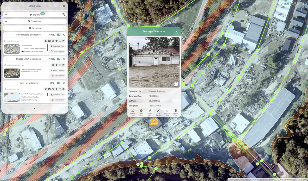
Juno Maps is excited to announce the launch of the Disaster Resilience Suite within Smart Site Plan, a comprehensive set of multi-hazard planning tools designed for emergency managers, local governments, and infrastructure operators.
The new suite covers four major hazard categories:
- Wildfire: Risk zone mapping, structure exposure assessment, and evacuation route planning
- Hurricane: Storm surge modeling overlays, wind speed zones, and debris management mapping
- Tornado: EF-scale risk layers, shelter location planning, and post-event documentation tools
- Flood Resilience: FEMA flood hazard zones integrated with utility and parcel data for damage modeling
All four modules are accessible through the same Smart Site Plan interface. No additional software or GIS training required. Emergency management agencies can now maintain a single, continuously updated platform for all-hazards preparedness, response coordination, and FEMA grant documentation.
The suite is available to all Smart Site Plan subscribers effective immediately.
Learn More
See how Juno Maps can help your team with the solutions mentioned in this article.