RISE Participants 2026: Strong Flood Action Communities Trust
Communities across Southwest Virginia and the Shenandoah Valley are taking meaningful steps to strengthen flood preparedness and improve everyday coordination through their participation in the RISE Riverine Community Resilience Challenge II.

Communities across Southwest Virginia and the Shenandoah Valley are taking meaningful steps to strengthen flood preparedness and improve everyday coordination through their participation in the RISE Riverine Community Resilience Challenge II. Supported by RISE Resilience Innovations and funded by the Virginia Department of Housing and Community Development, the program brings together regional planning districts and local governments committed to practical, place-based resilience.
Working alongside Juno Maps, RISE participants are using Smart Site Plan to modernize how information is accessed, shared, and applied across planning, public works, utilities, and emergency management.
Why the RISE Program Matters
Flood preparedness is not just about responding to emergencies. It's about making sure the right information is available, understandable, and shared before, during, and after an event. Many communities still rely on scanned plans, disconnected files, and siloed systems that slow response and increase uncertainty.
The RISE program is designed to address these challenges by helping participants:
- Improve access to critical planning and infrastructure data
- Reduce time spent searching for documents and maps
- Strengthen coordination across departments and jurisdictions
- Support clearer communication with the public
By focusing on practical improvements, the program helps communities build capacity that supports both emergency response and day-to-day operations.
How RISE Participants Are Putting Smart Site Plan to Work
As highlighted by its recognition in the RISE Riverine Community Resilience Challenge II, Smart Site Plan is playing a central role in helping participating communities strengthen flood preparedness and coordination. Through the platform, RISE participants are transforming existing information into usable, location-based data that teams can access and rely on in real time.
Rather than working from static maps or disconnected files, participating organizations are using Smart Site Plan to bring clarity and consistency to flood-related planning and response. Key outcomes of this award-recognized work include:
- Converting older scanned plans into functional digital formats, ensuring critical information is no longer locked in static documents
- Centralizing maps, documents, and files within a shared, cloud-based workspace accessible across departments
- Creating clearer, more interactive public notices that improve communication around flood risk and community preparedness
- Improving cross-department collaboration among planning, public works, utilities, and emergency management teams
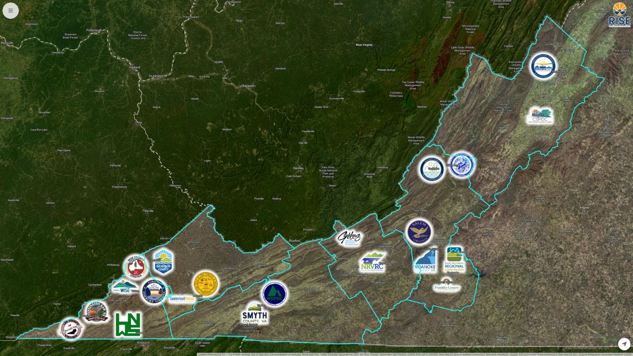
Explore the RISE Community Partners map to see all participating jurisdictions. View Full Map
A Growing Network of Regional and Local Partners
The RISE effort currently includes a diverse group of participants working across the region.
Regional and Planning District Partners
- New River Valley Regional Commission
- Lenowisco Planning District Commission
- Mount Rogers Planning District Commission
- Central Shenandoah Planning District Commission
- Cumberland Plateau Planning District Commission
- Roanoke Valley – Alleghany Regional Commission
County and Local Government Partners
- Giles County, VA
- Wise County
- Lee County
- Alleghany County
- Russell County
- Franklin County, Virginia
- Dickenson County
- Smyth County
- Roanoke County
Cities and Towns
- City of Salem
- Town of Clifton Forge, VA
- Town of Wise
- Town of Pennington
- Town of Coeburn
- Town of Dayton
Participation continues to grow as more communities recognize the value of shared, map-based workflows.
Building Resilience Through Collaboration
Beyond tools and technology, RISE participants consistently point to collaboration as one of the program's greatest strengths. Through the RISE Riverine Community Resilience Challenge II, communities are not working in isolation. Instead, they are partnering with one another and with Juno Maps to build shared capacity and practical, long-term resilience.
Using Smart Site Plan as a common geospatial workspace, participating organizations are able to engage more effectively with peer communities and regional partners. This shared platform supports collaboration that goes beyond individual projects, helping teams:
- Share lessons learned and proven practices for flood preparedness and response
- Build professional connections across regions and disciplines, from planning to public works and emergency management
- Align around common challenges and goals, using the same location-based information to guide decisions
As flood risks continue to increase across Virginia, the RISE program demonstrates how collaboration, shared commitment, and accessible geospatial tools can strengthen both planning and response efforts.
Explore Smart Site Plan in Practice
Curious how Smart Site Plan supports collaboration, flood preparedness, and day-to-day planning in practice? Communities and organizations can explore the platform to see how maps, data, and workflows come together in a single, easy-to-use workspace. Contact us to experience how location-based information is shared, updated, and used in real time.
Learn More
See how Juno Maps can help your team with the solutions mentioned in this article.