Technology
High Resolution Satellite Imagery: Turning Aerial Data into Actionable Insight
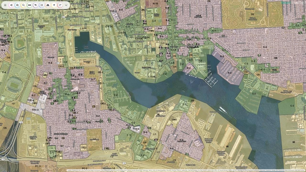
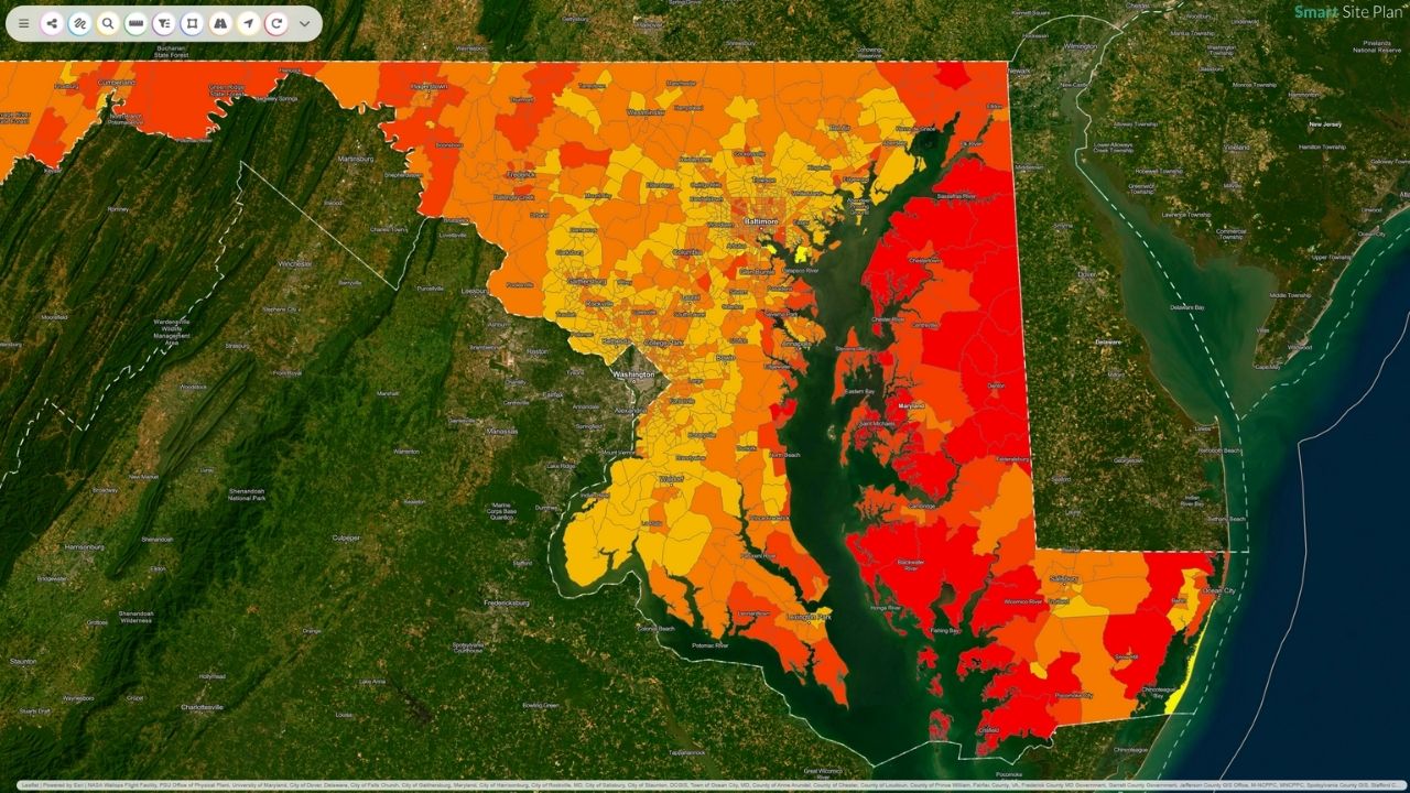
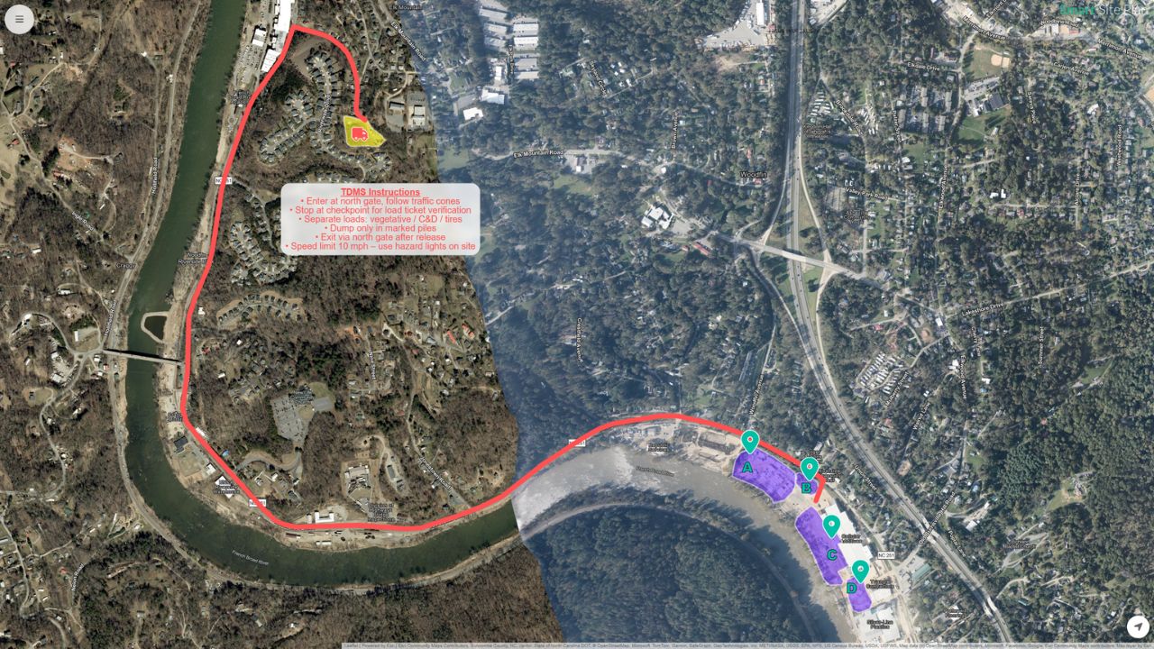
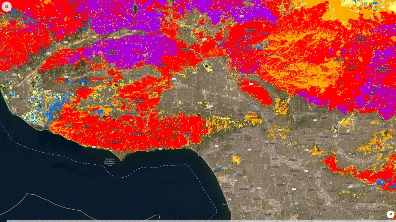
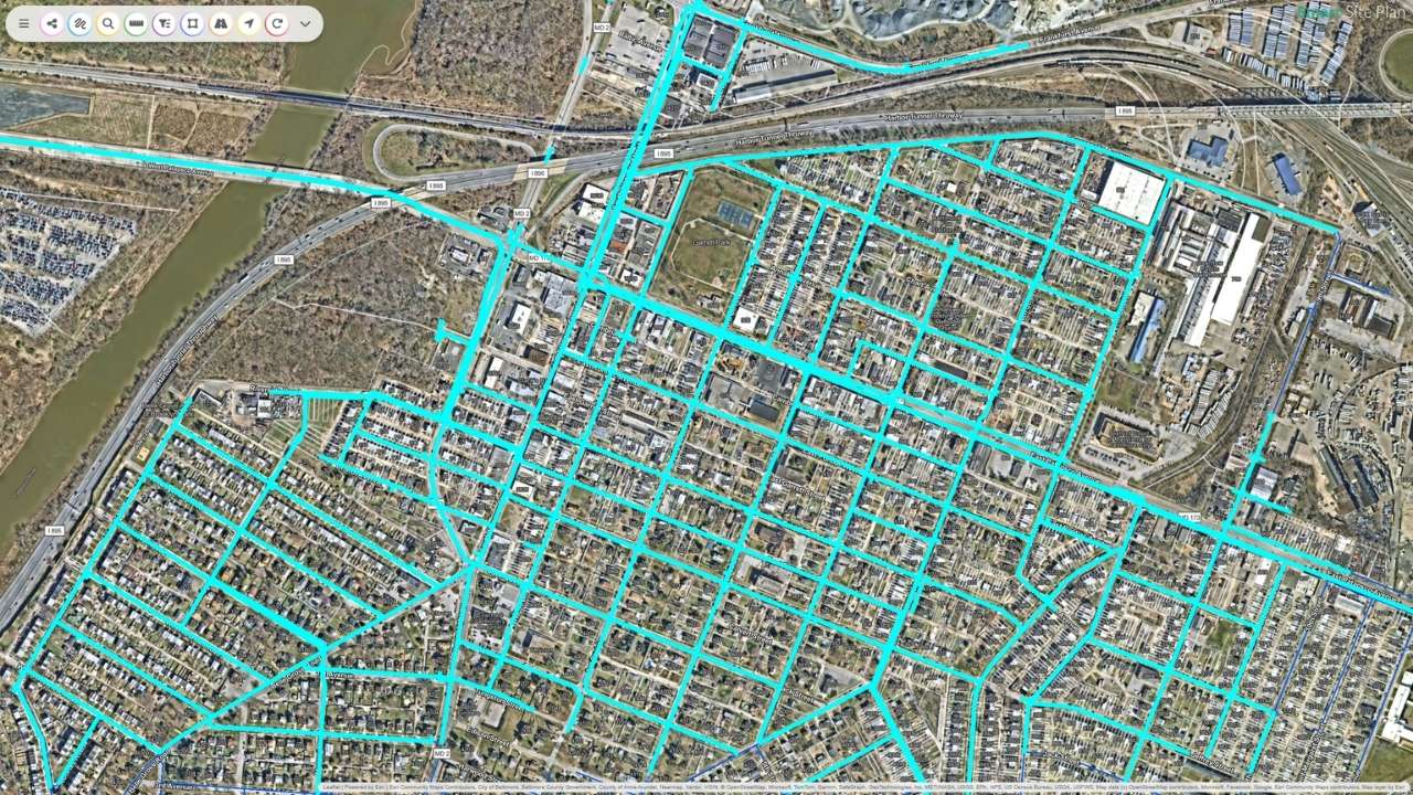
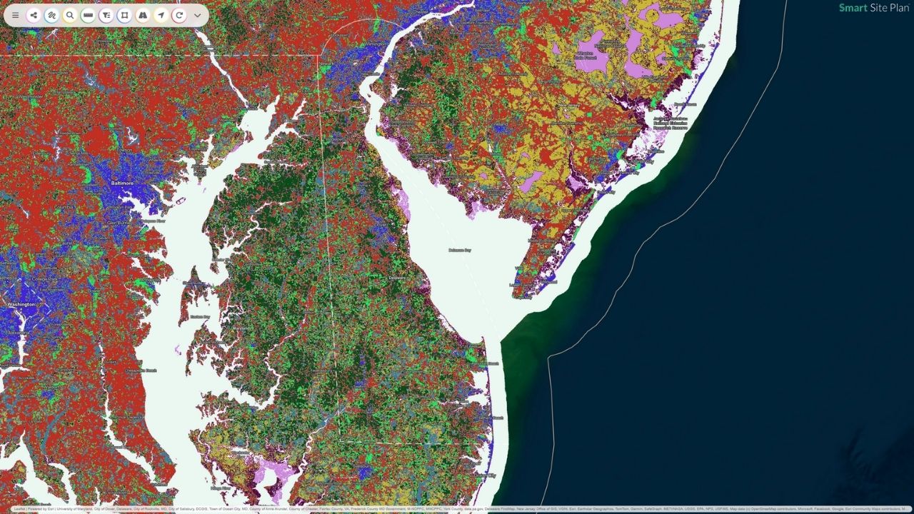
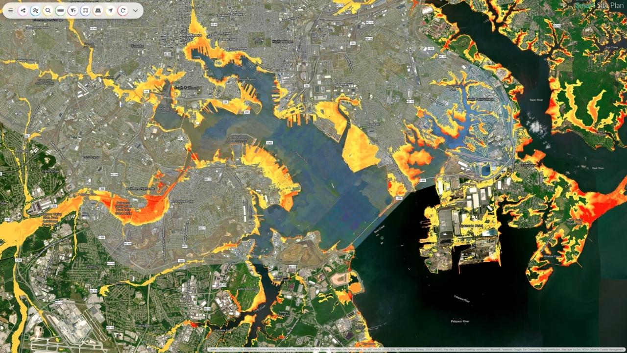
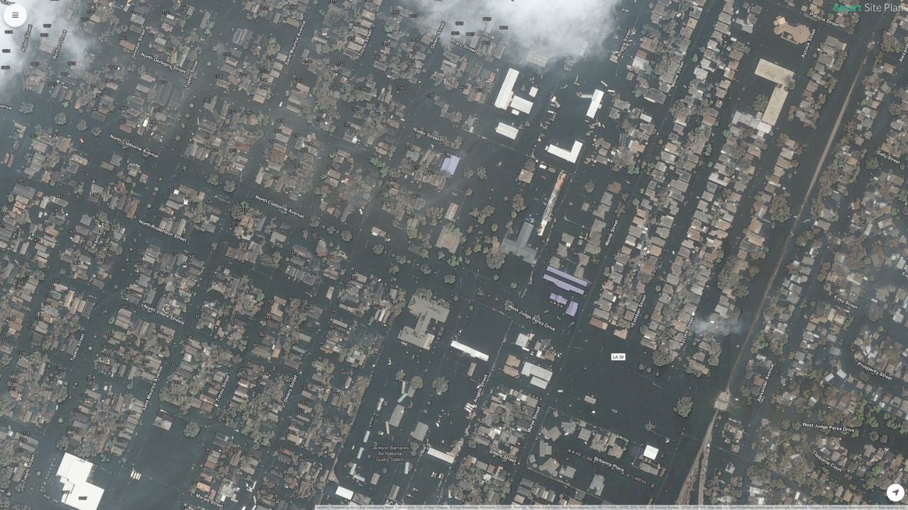
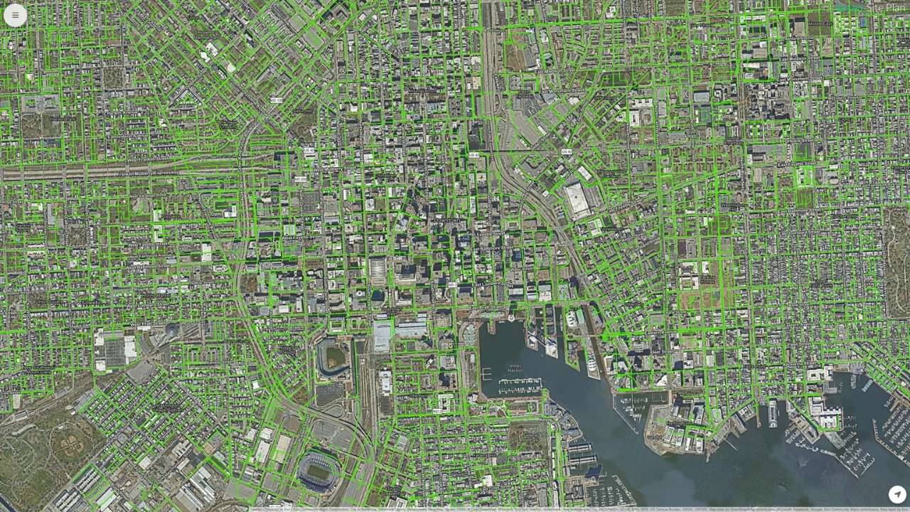
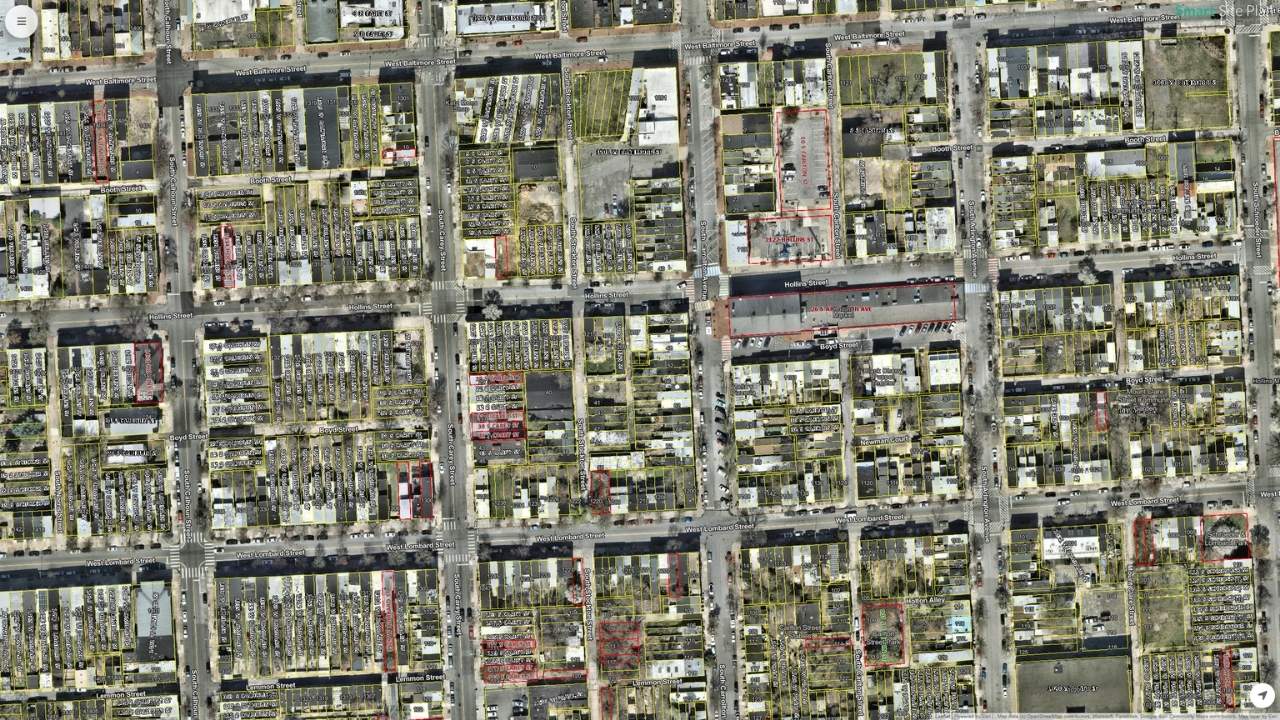
When decisions need to happen quickly, static maps, spreadsheets, and PDFs can only take you so far. High-resolution satellite imagery provides real-world context that turns each image into a living map for local governments, emergency managers, planners, and utilities.
Read more