Field-Verified Asset Data. Regulatory-Ready Records.
HydroScout gives water utility field crews mobile-ready tools to inspect, map, and document water system assets with precision, replacing paper forms and disconnected spreadsheets with a GIS-integrated inspection platform built for LCRR compliance.
From Paper Inspection Forms to Defensible Geospatial Records
Water infrastructure assessment has historically depended on paper forms, disconnected spreadsheets, and time-consuming manual GIS updates. HydroScout eliminates that gap — replacing the clipboard with a mobile-ready platform that connects field observations directly to your authoritative geospatial asset records in real time.
From routine valve inspections to Lead and Copper Rule Revisions (LCRR) service line verification surveys, HydroScout equips your crews with structured data collection tools that automatically tag, map, and store every finding against the correct asset, producing documentation your team and your regulators can rely on.
Paired with HydroDig, Juno's hydrovac excavation data layer, HydroScout gives utilities and engineering firms a complete, independently verified picture of underground water infrastructure, from the surface down.
Purpose-Built for Water System Inspection
Every feature in HydroScout is designed around the operational and regulatory needs of water utilities, from routine asset surveys to LCRR compliance documentation.
Structured Field Data Capture
Collect GPS-tagged photos, pipe condition ratings, and material classifications from the field using mobile-ready structured forms, purpose-built for water system asset documentation.
Precision Asset Mapping
Every inspection is automatically georeferenced and overlaid on your existing utility GIS data, building a spatially accurate infrastructure record without manual coordinate entry.
HydroDig Integration
Combine HydroScout surface inspection data with HydroDig hydrovac excavation findings to produce a verified, defensible record of buried water infrastructure, including pipe material and condition at depth.
Condition Assessment & Inventory
Record pipe material, installation year, condition ratings, and maintenance history in a structured, searchable inventory that supports LCRR service line reporting and capital planning.
Shareable Inspection Reports
Generate inspection reports formatted for utilities, engineering firms, and state regulators. Recipients access findings without needing GIS software or technical training.
Regulatory-Ready Data Exports
Export structured datasets and formatted reports for state primacy agency submissions, LCRR annual inventory updates, and capital improvement documentation.
From Field Observation to Regulatory Record in Three Steps
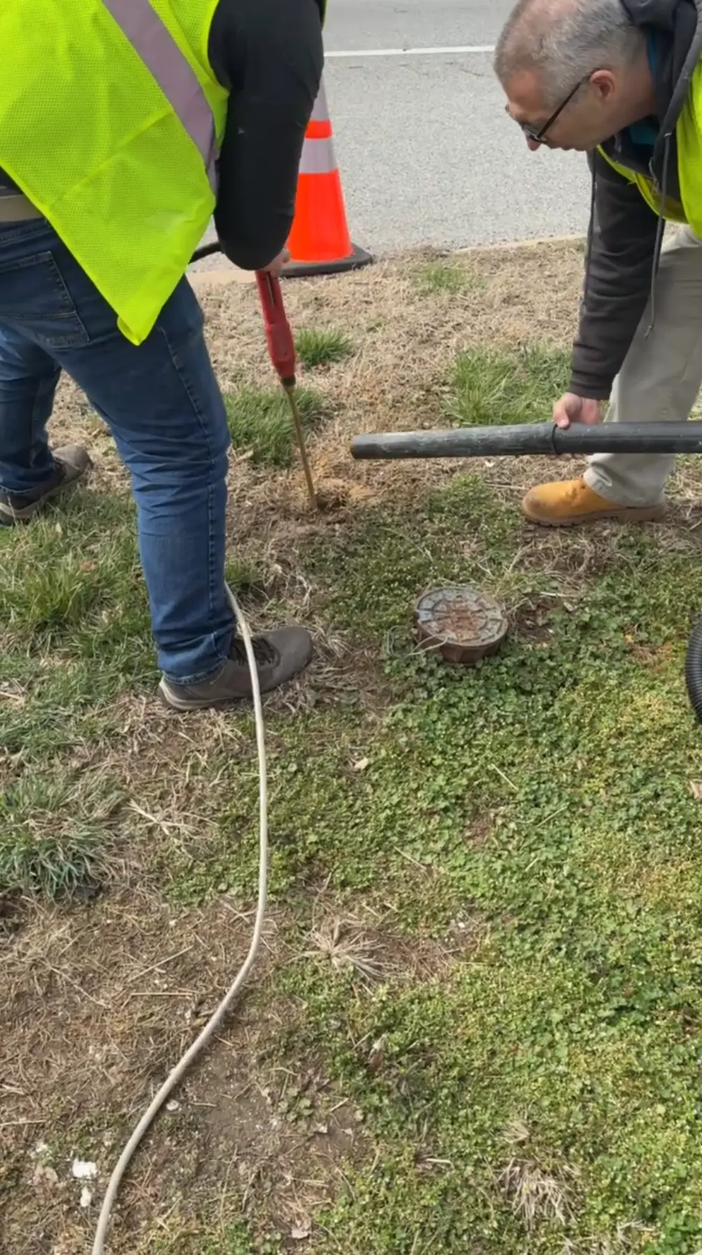
Inspect in the Field
Open HydroScout on any mobile device, select the asset from your GIS layer, and capture photos, condition ratings, pipe material, and GPS-tagged observations using structured inspection forms.
Auto-Map & Sync
Every observation is automatically georeferenced and synced to your cloud-based asset inventory in real time, no manual data entry, no transcription lag, no disconnected records.
Report & Submit
Generate inspection reports and regulatory-formatted data exports for state primacy agency submissions, LCRR annual inventory updates, and engineering deliverables, with a single click.
Built for Water System Professionals
HydroScout serves every organization responsible for inspecting, documenting, and reporting on public water infrastructure condition and compliance.
Water Utilities
Build and maintain a field-verified inventory of water mains, service lines, valves, and hydrants with condition data that satisfies LCRR documentation requirements and supports replacement prioritization.
Municipal Public Works
Give field crews the tools to capture and submit asset data in real time, keeping your GIS current and eliminating the transcription errors and lag that come with paper-based workflows.
Engineering Firms
Accelerate infrastructure condition assessments with mobile data collection that feeds directly into GIS and engineering reporting workflows, reducing site-to-report turnaround significantly.
Build a Defensible Water Infrastructure Inspection Program
Schedule a call with our team to see how HydroScout fits into your field inspection workflow, LCRR compliance program, or infrastructure condition assessment project.
Schedule a Call